El Questro to Mt Barnett
Today we were up and about early and left camp at 6.30 am. We faced a 6 hour drive along the Gibb River Road. This is completely closed in the wet season; local residents can get an exemption depending on the river levels. The major barriers are the Pentecost River in the east and the Lennard River in the west. At around 7.30 am we came to the end of the bitumen and it was dusty gravel for the rest of the day.
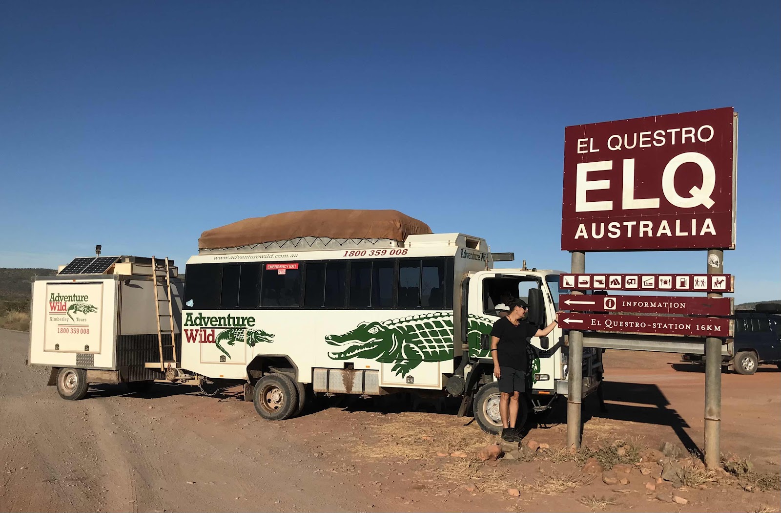 |
| At the El Questro turn-off. |
The dirt road was completed in 1967. It was never intended for tourists in the beginning, so it was often poorly maintained. It was built for for pastoralists to get their cattle to the Wyndham meat works.
Home Valley Station, where Adventure Wild normally stay, has not opened after COVID. Like everywhere else in the Kimberley, they simply can’t get staff. There are signs up everywhere asking for people to apply for all sorts of positions. There so few international travellers and backpackers.
 |
| Brief stop at a view point. |
Gools and Tommo said the road was as smooth as it gets, because of recent grading. It’s the start of the season, whereas there get to be huge corrugations come July.
Tommo knew about a secret rock art site beside the highway. It was just a matter of remembering its exact location. He really needed to know about What3words. (I had previously tried to convince the whole group about this app. Everyone thought it was a joke and started coming up with rude combinations of words. It really assists in pinpointing exact locations anywhere on the planet and is ideal for travelling in the bush).
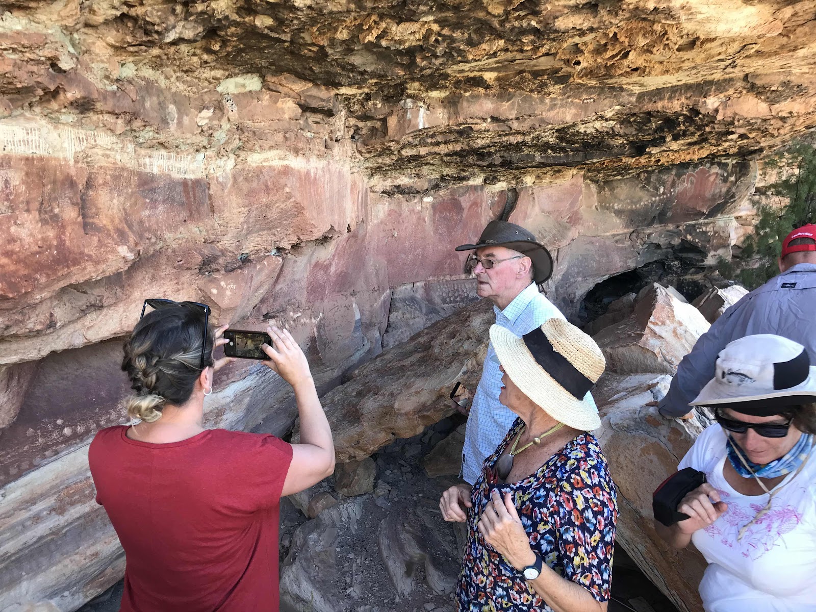

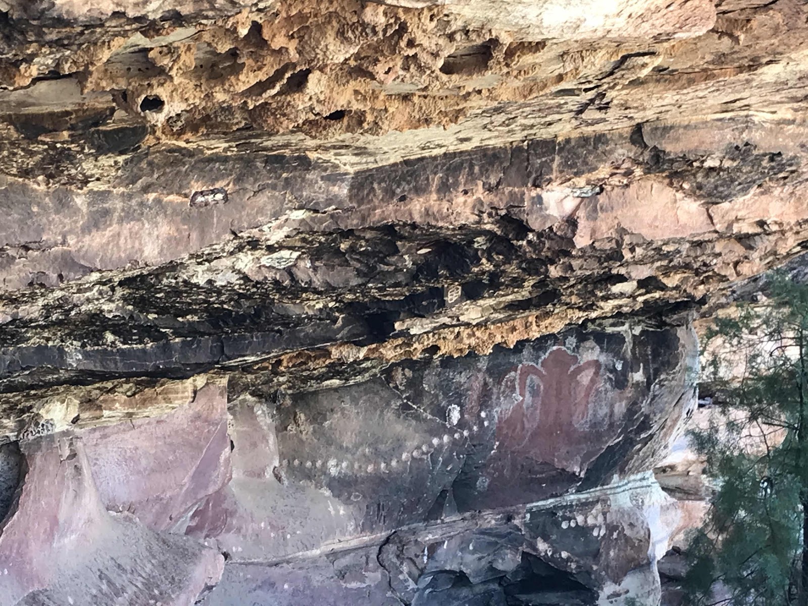
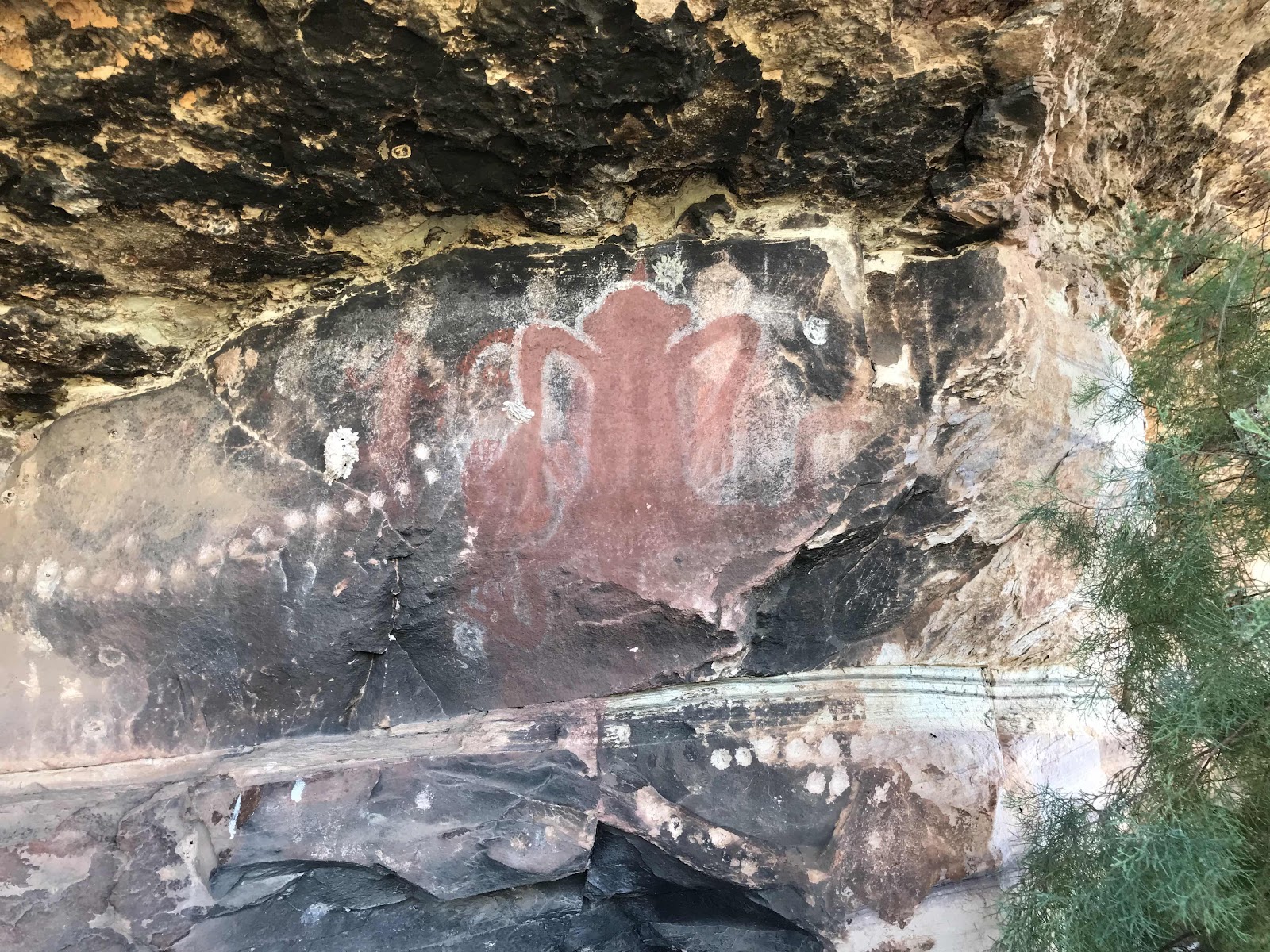
The rock shelter had long lines of round indentations, known as cupules. These followed the stratification colours in the sandstone. There were also a couple of faint Wandjina figures. It is thought that climate change and lowering of water levels in the area indicates that the paintings are 10,000 years old and have remained untouched since then. The site is just before the sign reading 240 kms from Mt Barnett. We had to traipse through long cane grass and itchy spinifex on the way up.
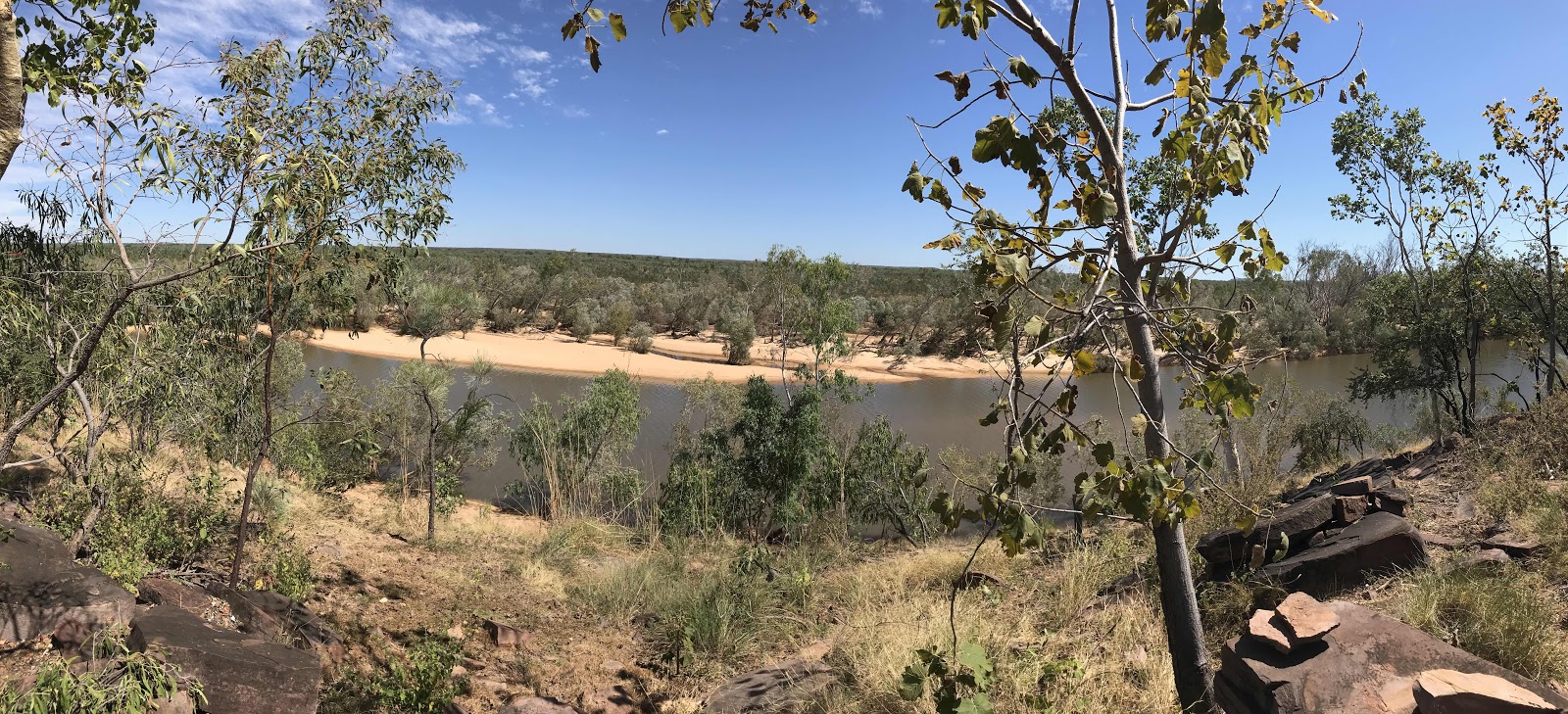
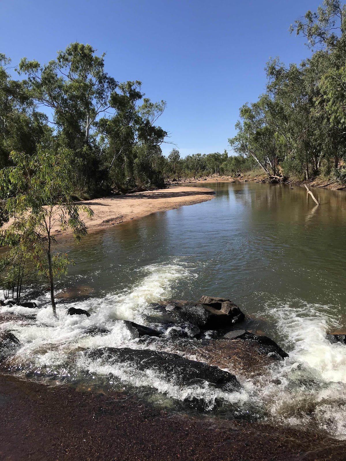
On both sides of the highway, we saw lots of orange flowered gum trees. We stopped near the Drysdale River for morning tea. There was a nice view of the river so I tried a panorama shot on my iPhone. Then we saw a big croc reclining on the bank at the crossing. The river was very high here and quite wide. We had to take it very slowly over the big round stones.
 |
| Morning tea overlooking the Drysdale River. |
 |
| Panorama shot of this spot. |
 |
| Orange flowered gum. |
 |
| River crossing. |
 |
| Lunch spot at Kalumburu turn-off. |
We stopped for lunch at the rest area by the Kalumburu turnoff, where there were long drop toilets and shady trees. Lunch was tuna and sweet corn wraps with Ranch Dressing. Then we drove up the Kalumburu Road for 2 kms for a quick look at the Gibb River after which the road was named.
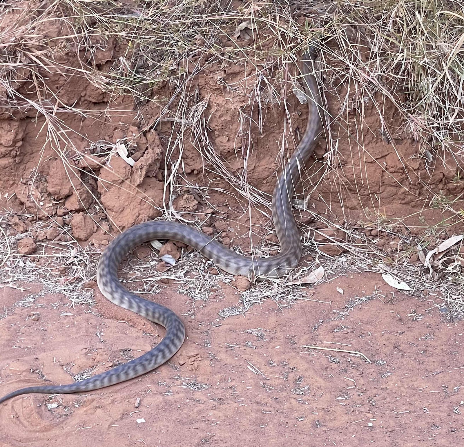
My Barnett Roadhouse closes at 3.00pm. By this time it was 4.00 pm. and we were longing for a cold beer. Manning Gorge Campsite is 7 kms on from the roadhouse. We saw a Black headed python crossing the road. Everyone resolved to make sure their tents were properly zipped up overnight!
This is wonderful!
ReplyDelete